Low-Emissions Oil Palm Development in Berau District, East Kalimantan
OBJECTIVES
DESCRIPTION
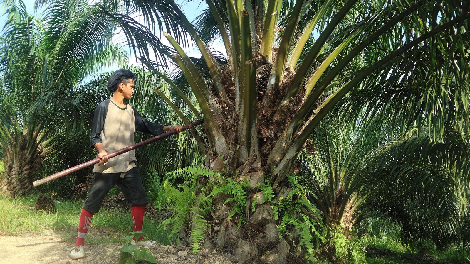
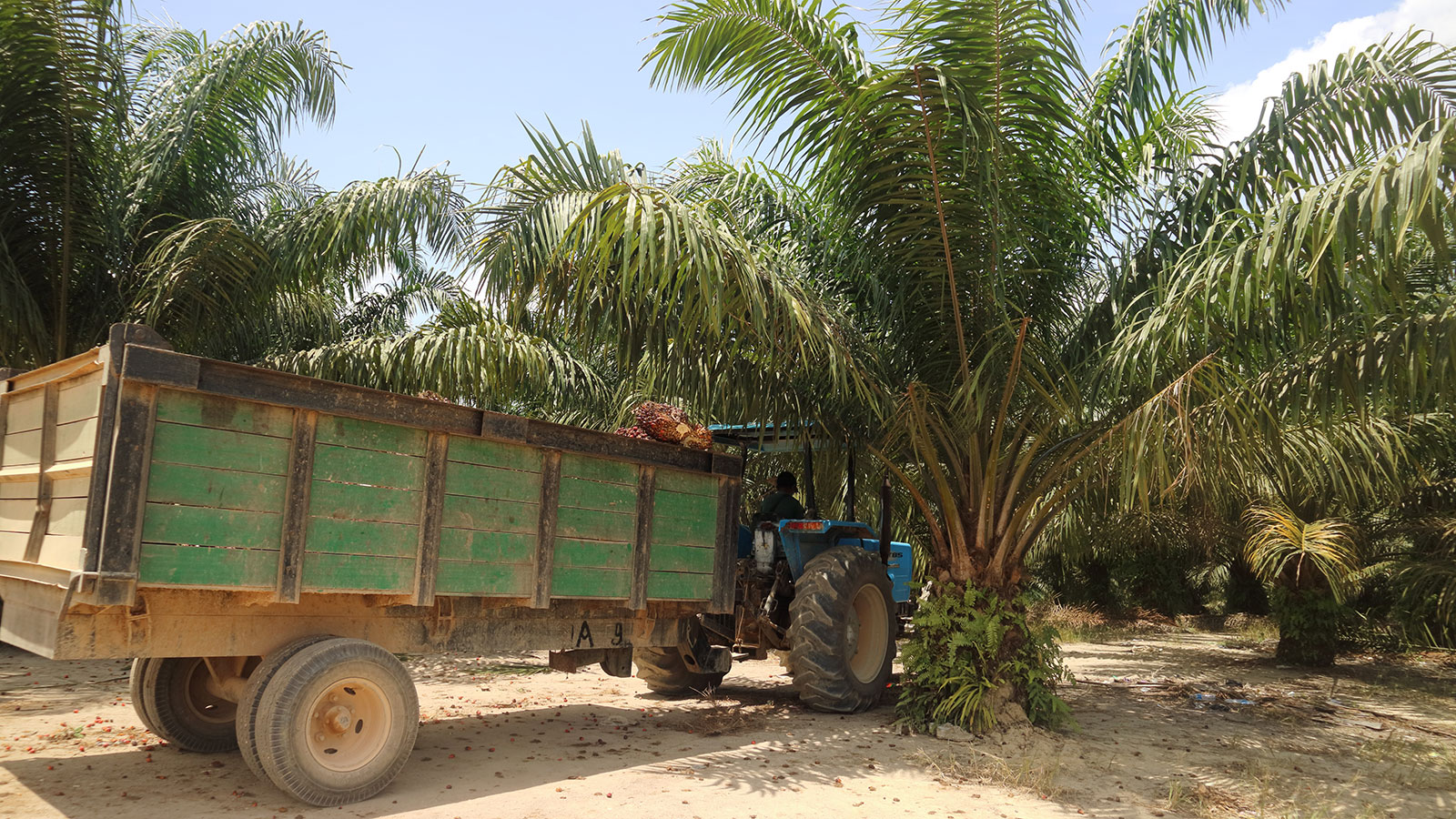
The low-emissions oil palm development (LEOPALD) project focuses its intervention on lowering emissions from land-use change. It applies the landscape approach with a focus on district jurisdiction. The project strengthens the Berau district government’s capacity to perform the land-use governance and plantation management; they are planning, monitoring, and controlling through an improved licensing process. It also works with five villages on land use and development planning. At the same time, it also creates the stakeholders’ capacity to develop partnerships and resolve conflicts between communities and palm oil companies. The project supports the East Kalimantan Province Government—particularly the Estate-Crop Office —to provide tools and data to help districts plan and monitor the oil palm development. In addition, the project works with the State Ministry of National Development Planning (Bappenas) on oil palm area mapping and projection to contribute to better sector planning at the national level. In collaboration with another IKI funded project, “Sustainable and Climate Friendly Palm Oil Production and Procurement”, the project also supports Bappenas in developing tools and guidelines to facilitate the palm oil regions plan for a sustainable plantation region.
GIZ implement the project under a collaboration with The Nature Conservancy (TNC) and Climate Policy Initiative (CPI) on behalf of the German Federal Ministry for Environment, Nature Conservation and Nuclear Safety (BMU). The leading implementation partner is BAPPENAS. At the sub-national level, the project works with the Province Government of East Kalimantan and the District Government of Berau.
APPROACH/FIELD OF INTERVENTION
- Land use planning, monitoring, and licensing
- Jurisdictional approach to reducing land-based emissions associated with oil palm area development
- Sustainable supply-chain partnership facilitation
- Conflict management and resolution
TARGETED BENEFICIARIES
- East Kalimantan Provincial Government
- Berau District Government
- Local communities in oil palm landscapes in Berau District
- Oil palm smallholders in Berau district
- Palm oil companies in Berau district
HIGHLIGHT ACTIVITIES
- A study on oil palm plantation mapping and the projection of area until 2045 is available at the national level.
- A policy paper on zero-deforestation oil palm plantation development has been consulted with the Ministry of Development Planning.
- The East Kalimantan Government has enacted Regulation 7/2018 about Sustainable Plantation Development. Together with the district governments, the provincial government has identified potential HCV areas in the plantation zone with 417,000 ha. Following the Provincial Regulation 7/2018, the Governor of East Kalimantan has issued Governor Regulation 12/2021 on criteria of HCV area.
- Spatial datasets necessary for sustainable oil palm development planning and land-use monitoring (land cover, indicative HCV areas, plantation permits, land suitability map and spatial plan) are available in the data portal facility of the Berau District Government. It is equipped with a web-based screening tool for preliminary assessment of permit process. It is equipped with a web-based screening tool for the preliminary assessment of the permit application process.
- Bupati of Berau has endorsed the first district-wide indicate HCV areas in the plantation zone with a total area of 83,000 ha.
- Nine members of the local mediation task force (two of them women), who received training and supervision from the project, and the Conflict Resolution Unit of the Indonesia Business Council for Sustainable Development, succeeded in facilitating a company-community dialogue and reaching a preliminary agreement for one of the most difficult dispute cases. Since the dispute was reported the first time about 21 years ago, the company now allows the local community to use 384 ha of land inside the concession for public facilities (e.g. school) and farms of 70 smallholders.
- The Taskforce also facilitates the land-use negotiation process in five villages between communities and eight oil palm companies. The negotiation process aims to settle 35 areas of interest, of which the villagers want to conserve about 12,000 ha of forested land. Seven of the eight companies indicated their agreement with the preference of local communities in four villages during the communications with the Task Force which took place between December 2020 and March 2021.
PUBLICATIONS
SUCCESS STORIES
The LEOPALD project support Berau District Government in mapping and collecting oil palm smallholder data as an important stage in farm registration process. Despite the significant proportion of the smallholder oil palm area in Indonesia, it is very few of them being registered.
In addition to the geo-reference data of the farms, the registration requires attribute data about land legality, farmers’ personal data, cultivation, crop pattern, processing partners, and others. The data format refers to the technical guidance from the Ministry of Agriculture about small-scale industrial crop farm registration (STD-B). To collect this data, the project introduces two approaches.
The first approach uses the combination of drone technology and focused group discussions (FGD). The drone mapping produces a high-resolution image. Through the FGD, the smallholders synchronize the border of their farms and provide the attribute data. The second approach is by applying an Android application that is based on the CADASTA data platform.
The first approach has been applied pilot landscape in East Kutai, collaborated with another GIZ-implemented project. It covers 757 farmers with the total area of 2494 hectares. The second approach has been implemented in Berau covering 139 farmers with the total area of 721 hectares.
The oil palm plantation sector is among the major sources of land-use related social conflicts in Indonesia. One of the causes is the lack of agreement between the local communities and the companies on the land-use plan.
The Berau District Plantation Agency with the technical support from the LEOPALD project trained 15 local communities from five villages and 14 representatives of eight companies (mostly manager level) on land-use plan negotiation, 19-21 November 2019.
Before the training, the agency identified the area of interest in each village, areas with potential conflict or cooperation between communities and companies. During the training, participant groups (based on villages) discussed the 34 identified areas of interest with a total area of 19.415 ha. 16.209 ha of this area of interest is forested land, which the local communities aims to conserve.
As a follow up of the training, the local communities and the companies agreed to continue the negotiation process on the land-use agreement. The District Estate Crop Agency will facilitate this negotiation until both parties reach an agreement.
COUNTRY
Indonesia
DURATION
15 Sep 2017 - 15 Feb 2022
Commission Agency
BMUV
SDG
