Land Management and Decentralised Planning (LMDP)
OBJECTIVES
At all levels, the responsible authorities in Laos are capable of using land use planning instruments to manage natural resources, as well as to solve and prevent conflicts over land and resources.
DESCRIPTION
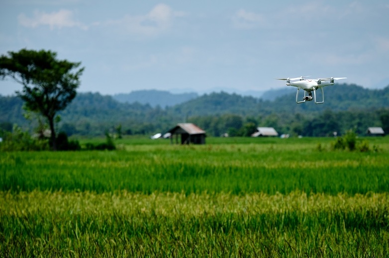
In Laos, various ministries and the affiliated agencies are responsible for land use and land management. However, their mandates are often not clearly defined and may overlap in practical execution. This leads to an unclear distribution of responsibilities, which can result in the mismanagement of natural resources. Moreover, empirical land use data is often lacking, yet extremely important for solving land conflicts and applying sustainable land management principles in practice. Although there have been improvements in recent years, government agencies require further support in capacity development to strategically implement existing land use planning instruments and methods.
From 2015 to 2019, a variety of tools to improve land use planning processes were developed as part of the previous project phases. These include the digital cadastre for land registration LaoLandReg, the land information system LUIS, and the Area Physical Framework (APF) for land zonation. Since 2020, the current project phase focusses on the institutionalisation and further technical expansion of these tools.
APPROACH/FIELD OF INTERVENTION
The project has three core features:
- Institutionalisation of capacity building measures into government authorities and training centres to strengthen long-term technical expertise, digital skills and understanding of procedural issues in land administration at local, provincial, and national level.
- Technical guidance to improve linkages between the digital cadastre for land registration and other relevant land related databases.
- Applying procedures and instruments in the pilot province Sayabouri, which feed into the development of guidelines and manuals. Moreover, results will be incorporated into the provincial socio-economic development planning.
PUBLICATIONS
- Land Management and Decentralised Planning 3 (ENG)
- Land Management and Decentralised Planning 3 (LAO)
- GIZ Good Practice Laos
VIDEO
COUNTRY
Laos
DURATION
2019 - 2024
Commission Agency
BMZ
SDG